


Geomorphology & Geological Features
Volcanic Landforms
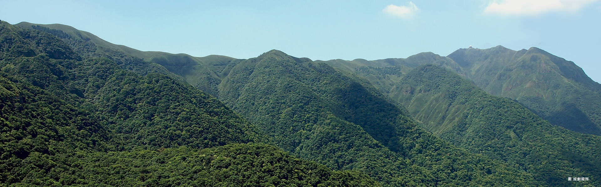
LiDAR-based topographic analyses have identified 51 volcanic edifices within the Tatun Volcano Group (TVG). Major volcanic centers include Mt. Chihsin (1,120 m), Mt. Tatun (1,092 m), Mt. Miantian (977 m), and Mt. Huangzui (912 m), which are distributed along three northeast–southwest-trending volcanic belts. The volcanic landscape is characterized by well-preserved craters and extensive lava-flow features, reflecting multiple episodes of volcanic construction and subsequent erosion. 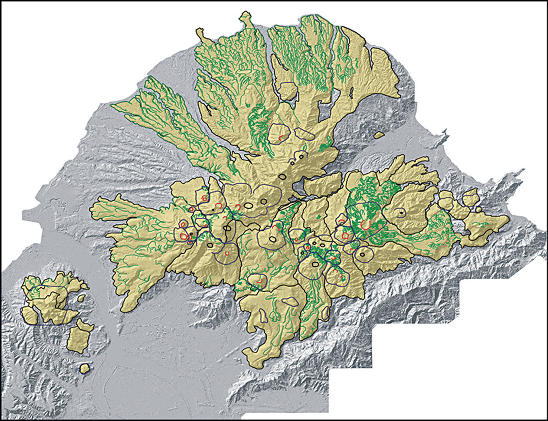
Volcanic landforms of the Tatun Volcano Group. Blue lines indicate volcanic cones, red lines indicate craters, and green lines indicate lava flows. Adapted from Chen et al. (2007) Lava Flows
More than 40 well-preserved lobate lava flows have been identified throughout the volcanic field. These lava flows are particularly well developed on the eastern flank near Wanli and the Tianlai area, as well as around the Zhuzihu basin in the central part of the volcanic complex. 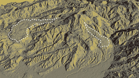
3D LiDAR image of the tongue-shaped lava flows surrounding Mt. Huangzui.( Tsao, Shuhjong, 2009) Hydrothermal Features
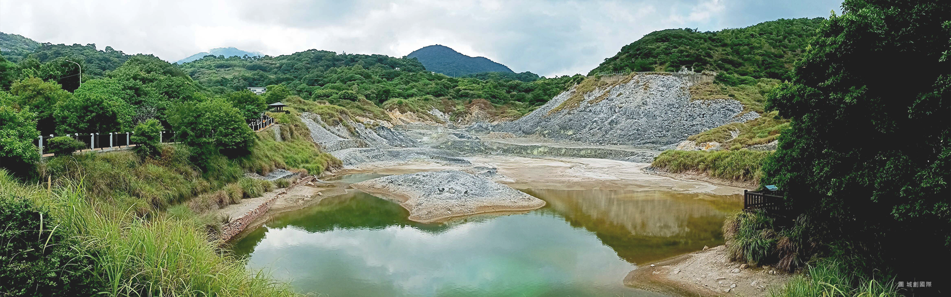
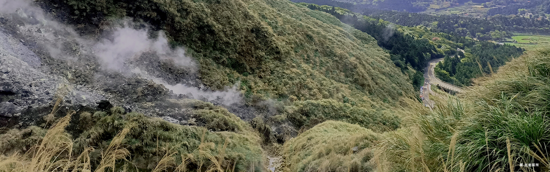
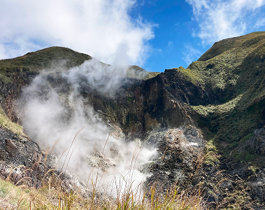
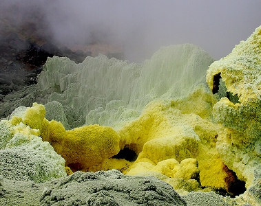
Hydrothermal activity remains widespread throughout the Tatun Volcano Group. Major fumarole fields include Dayoukeng, Xiaoyoukeng, and Lengshuikeng, where vent temperatures may exceed 120°C. The area also contains sulfur-rich fumaroles, active hydrothermal alteration zones, and diverse hot spring systems, including acid sulfate-chloride, acid sulfate, and bicarbonate waters. Several volcanic lakes, including Zhuzihu and Menghuan Lake, were formed by lava-flow damming. 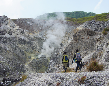
Petrology
Volcanic rocks in the Tatun Volcano Group are dominated by andesite containing plagioclase, hornblende, and pyroxene phenocrysts. Minor basaltic rocks occur locally, particularly at Honglushan. Pyroclastic deposits and lava flows are commonly interbedded, reflecting multiple stages of volcanic activity within the volcanic field.